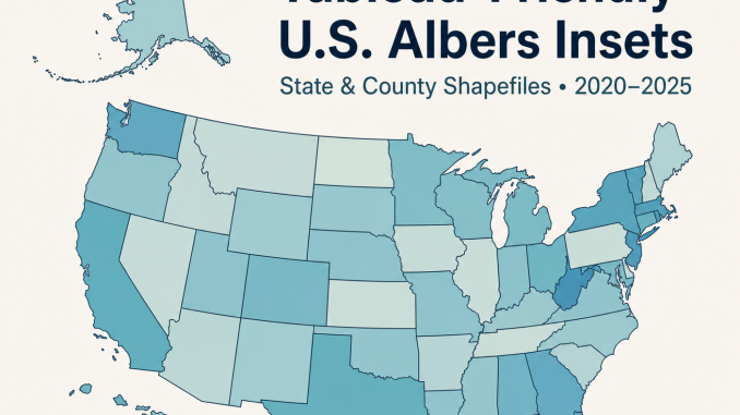
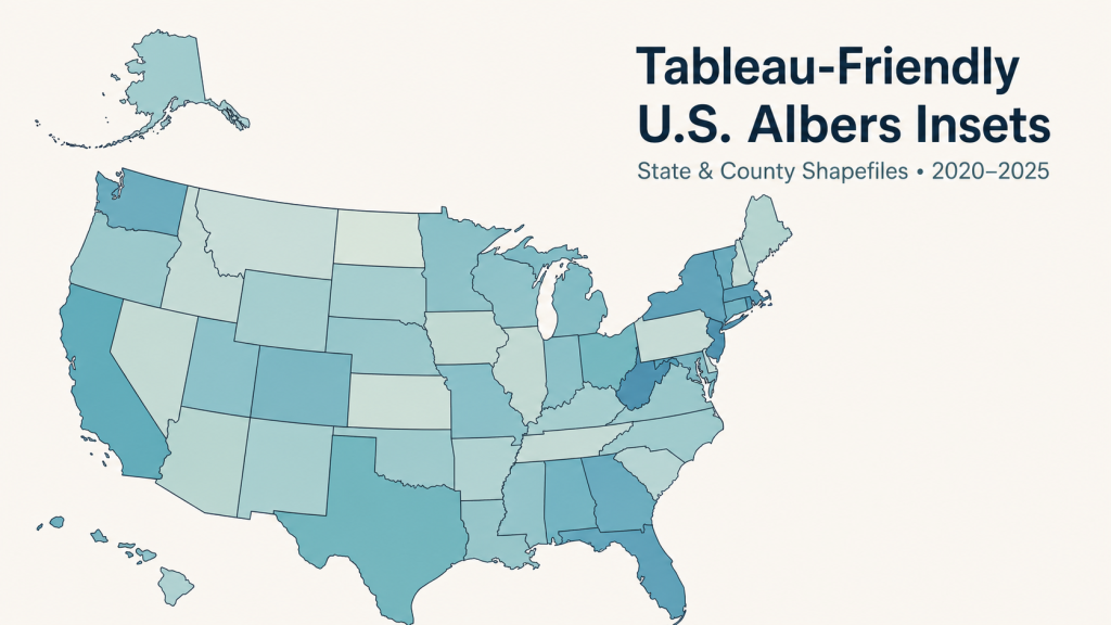
Have you every wanted a ready-to-use spatial file collection for Tableau. Overflow Data has you covered. Our shapefile are resized and repositioned around the contiguous United States, using an Albers-style layout instead of the default Web Mercator view. Reach out to us at OverflowDataSolutions@gmail.com for a quote.
Short Product Description
This product gives Tableau users clean U.S. state and county map files designed for thematic mapping. The contiguous United States is projected in NAD83 / Conus Albers, while Alaska and Hawaii are transformed into readable insets so national maps look balanced and presentation-ready.
The download includes separate packages for Census cartographic boundary vintages 2020, 2021, 2022, 2023, 2024, and 2025. Each yearly package includes state and county shapefiles, GeoJSON files, metadata, a data dictionary, QA notes, and a preview image.
- 2020 Tableau-friendly U.S. Albers inset package
- 2021 Tableau-friendly U.S. Albers inset package
- 2022 Tableau-friendly U.S. Albers inset package
- 2023 Tableau-friendly U.S. Albers inset package
- 2024 Tableau-friendly U.S. Albers inset package
- 2025 Tableau-friendly U.S. Albers inset package
- State shapefiles for each year
- County shapefiles for each year
- State GeoJSON files for each year
- County GeoJSON files for each year
- Data dictionaries
- Build manifests and QA summaries
- Preview images
- README files with Tableau usage instructions
Tableau’s default U.S. maps are convenient, but they often make Alaska appear oversized, Hawaii too small, and national views dependent on Web Mercator. These files solve that problem by providing Tableau-friendly U.S. spatial layers with an Albers-style layout and carefully positioned Alaska and Hawaii insets.
Use the state layer for state-level choropleths, rankings, and labeled maps. Use the county layer when your data is keyed by county FIPS code. Each vintage is packaged separately so you can match your map geography to the year of your source data.
These files are especially useful for dashboards, policy reports, labor market maps, election maps, economic indicators, demographic analysis, public health maps, and any Tableau project where a compact U.S. map layout matters.
Key Features
- Designed for Tableau spatial file workflows
- Uses NAD83 / Conus Albers Equal Area for the contiguous United States
- Alaska is reduced and placed above the Pacific Northwest
- Hawaii is transformed using the original Overflow Data inset method
- Includes both state and county geographies
- Includes six Census vintages: 2020 through 2025
- Includes zipped shapefiles and GeoJSON alternatives
- Uses stable join fields such as
STUSPSandGEOID - Excludes Puerto Rico by design for a focused 50 states plus DC inset layout
- Reproducible build metadata included
Who This Is For?
- Tableau dashboard developers
- Data journalists
- Policy analysts
- GIS analysts
- Economic and labor market researchers
- Public health analysts
- Election and demographic data users
- Consultants building U.S. map dashboards for clients
How do I get started?
Reach out to overflowdatasolutions@gmail.com for a quote.